Kot Chandna (کوٹ چاندنہ), also sometimes referred to locally or in variant spellings as Kot Chana, is a small town and union council in Isakhel (Isa Khel) Tehsil of Mianwali District, Punjab Province, Pakistan.
Location and Geography
It lies on the right (western) bank of the Indus River, near the confluence area involving the Kurram River influences in the broader region, close to the Jinnah Barrage and the historic town of Kalabagh. Approximate coordinates are 32°56′27″N 71°30′13″E (with some sources noting nearby variations around 32°34′N 71°18′E), at an elevation of about 191 metres (627–629 feet).
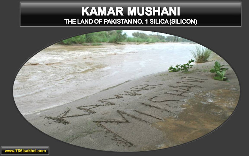
A provincial highway links it to Mianwali city (roughly 30 km away) and onward connections toward Khyber Pakhtunkhwa. The landscape features riverine plains suitable for agriculture, transitioning toward the foothills and hilly zones of the broader Isakhel area (including parts of the Khattak Belt to the north). Nearby settlements include Kalabagh, Kamar Mushani, Jalalpur, and others along the Indus corridor.
Administrative Status
Kot Chandna functions as one of the union councils of Isakhel Tehsil. Older lists of Isakhel’s union councils (which have numbered around 13–14, alongside municipal committees for Isakhel, Kamar Mushani, and Kalabagh) include it alongside places such as Chapri, Khaglanwala, Kallur, Sultan Khel, Trag, Vanjari, Tani Khel, and others. Population figures for the union council have been reported in the range of around 15,000 in some earlier local compilations, with more recent estimates for the local/settlement population lower (e.g., around 9,000 in 2017 census-related projections, with growth thereafter).
Isakhel Tehsil itself has a larger population (over 370,000–414,000 in recent census data) and is known for its mix of riverine and semi-hilly terrain, with historical ties to the Niazi (Pashtun) tribes and later administrative shifts from Bannu District into Mianwali (Punjab) in 1901.
Culture and Demographics
Life in Kot Chandna reflects a blend of Punjabi/Saraiki and Pashtun cultural influences, consistent with the broader Isakhel Tehsil (one of the more Pashto-speaking areas within Punjab, with significant Niazi and Khattak communities). Local society is shaped by tribal traditions, agriculture, and riverine livelihoods.
Notable Features and Economy
Jinnah Barrage and Hydropower: The town is near the Jinnah Barrage (completed 1946, also associated with Kalabagh Headworks), a key irrigation structure on the Indus that diverts water into the Thal Canal system, supporting agriculture across large areas of Mianwali and neighboring districts. A hydropower plant (around 96 MW capacity with pit turbines) operates in association with the barrage.
Agriculture and Transport: The fertile Indus right-bank lands support farming. The location has historically served as a river-crossing/transport node with road links facilitating local trade.
Afghan Refugee Camp: The most prominent modern feature was the Kot Chandna Afghan Refugee Camp, established in 1982 during the Soviet-Afghan War with support from the Pakistani government and UNHCR. It initially spanned about 1,350 acres (later expanded toward 2,000+ acres at peak) across areas including Kot Chandna, Tola Mangli, and Kach Tander Khel. Peak population reached as high as ~180,000. Facilities included housing, schools, a hospital, market, and water supply. Numbers declined over decades due to repatriation and self-settlement; by the late 2010s–early 2020s, registered populations were in the range of ~13,000–16,000+ (many Pakistan-born with PoR cards). The camp was denotified/closed as the last remaining formal Afghan refugee camp in Punjab around September 2025 amid broader repatriation efforts.
Local economy has involved agriculture, small trade, services linked to the camp and barrage, and some daily-wage or informal work. There are basic facilities such as filling stations along the roads.
Historical Context
The broader Isakhel region has deep roots tied to Niazi Pashtun settlement (linked to figures such as Isa Khan Niazi), with administrative evolution under Mughal, Sikh, and British periods. The area was part of Bannu District before the 1901 creation of Mianwali District in Punjab. Kot Chandna itself appears in modern records primarily as a riverine settlement and later as the site of the long-running refugee camp. Local sources also note religious figures associated with the area (e.g., references to Pir Noor-uz-Zaman Shah in some Urdu accounts).


Current Notes
As of recent information (2025–2026), the formal refugee camp has been closed, with land and assets subject to handover processes. The area continues as a rural/riverine community in Isakhel Tehsil, influenced by its strategic position near major Indus infrastructure. Connectivity, agriculture, and residual community ties shape daily life. Detailed village-level data can vary; official Punjab local government or census sources provide the most current administrative and demographic figures.


افغان مہاجرین کیمپ کوٹ چاندنہ کے بارے میں تفصیلی معلومات پڑھنے کے لیے یہاں کلک کریں۔